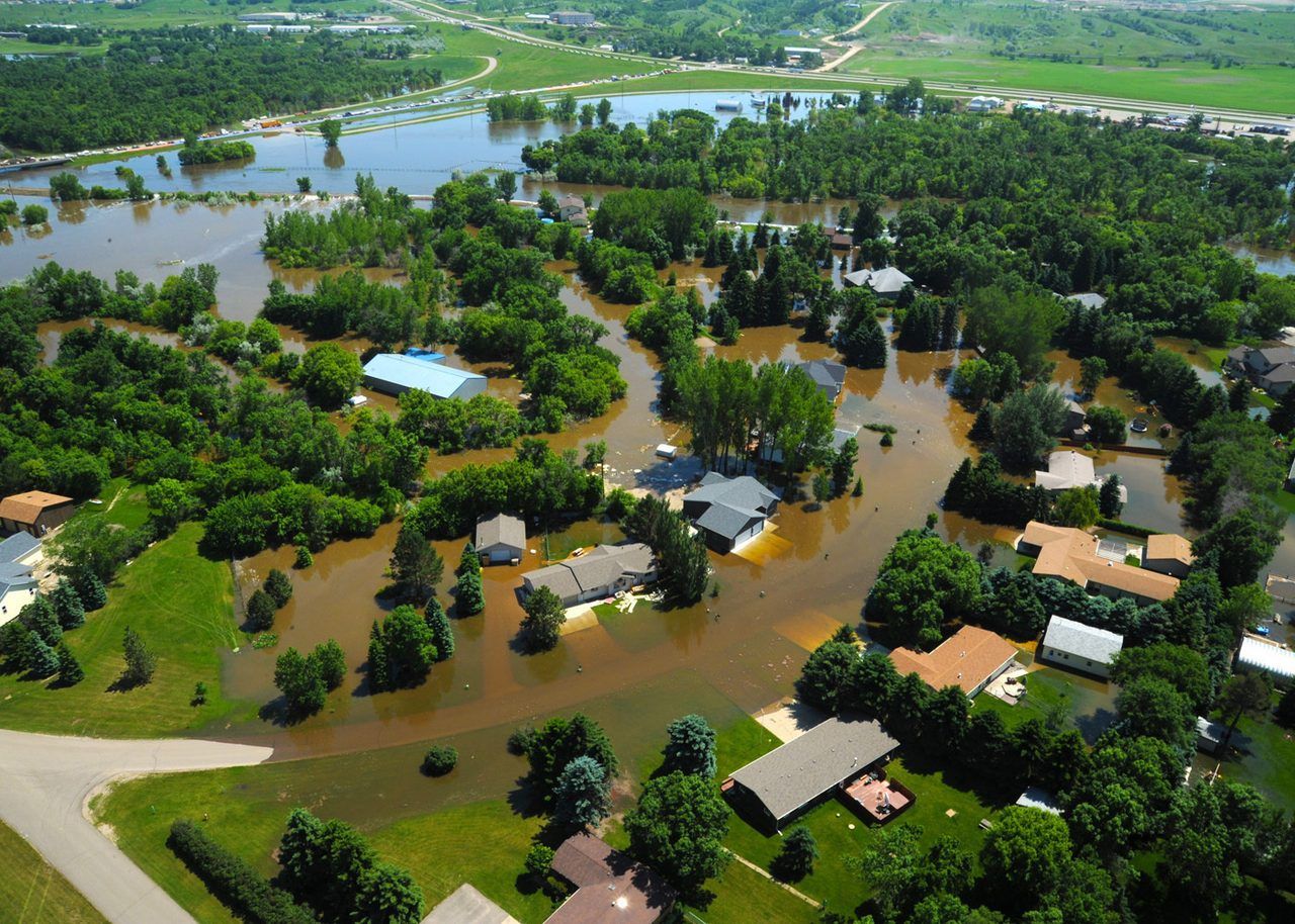
Here's the direct answer: use the FEMA Map Service Center at msc.fema.gov, enter the address, and view the Flood Insurance Rate Map for that location. Before you buy a home, renew insurance, or start a renovation, one question matters more than almost any other about the property: is it in a flood zone? The official answer comes from the Federal Emergency Management Agency's flood maps, which show the flood risk for a specific address.
Key takeaways
- Standard homeowners insurance doesn't cover flood damage, so this is a separate policy — either through the National Flood Insurance Program or a private flood insurer.
- If you believe your property has been mapped incorrectly, FEMA provides a process for a Letter of Map Amendment, which can remove a property from the high-risk area if survey data supports it.
- FEMA revises maps as new data arrives, and a property that is low risk today can be remapped into a higher-risk zone — or the reverse.
The map shows whether the property is in a high-risk flood area and which flood zone applies. Lenders, insurers and local officials all use the same maps, so the result you see is the result that matters for insurance and building requirements. Use the FEMA Flood Map Finder on this site to check your own situation.
Flood maps divide land into zones that describe the type and likelihood of flooding.
How to check an address on the official FEMA map
This guide explains how to look up any address on the official map, how to read what it shows, and what to do next — without guessing at a zone for a property you haven't looked up.
Go to the FEMA Map Service Center and search by address. The service returns the map panel covering that location, and you can view or download it. If the address search doesn't return a clear result — for example in a rural area or a newly developed parcel — you can search by coordinates or by the map panel number, and your local floodplain office can help you identify the right panel.
Keep a copy of the map and note the panel number and the date of the map: maps are revised over time, and the version in force is the one that governs insurance and building rules. Use the FEMA Flood Map Finder on this site to check your own situation.
FEMA also publishes flood hazard information through its National Flood Hazard Layer, which many state and local sites embed. Third-party flood-check sites exist, and some rank well in search results, but they aren't the authority — several are thin pages that embed a map and add little else. For a decision that affects insurance or a house purchase, always confirm against the official FEMA map itself.
What the map shows
Flood maps divide land into zones that describe the type and likelihood of flooding. The most important distinction is whether a property is in a Special Flood Hazard Area — the area with a high risk of flooding, generally shown as the area with a 1 percent annual chance of flooding, sometimes described as the 100-year floodplain. Properties in these areas face the strictest requirements: federally backed mortgages require flood insurance, and local building rules usually require new construction to be elevated.
Areas outside the high-risk zone are shown as moderate- or low-risk areas. That doesn't mean no risk: heavy rainfall, poor drainage and overwhelmed storm systems can flood areas the map labels low risk. The map is a planning and insurance tool based on modeled risk at the time it was drawn — it isn't a guarantee that a property will or won't flood.
What your result means for insurance
If your property is in a high-risk zone and you have a federally backed mortgage, flood insurance is required. Standard homeowners insurance doesn't cover flood damage, so this is a separate policy — either through the National Flood Insurance Program or a private flood insurer. Premiums depend on the zone, the elevation of the building, the deductible and the amount of coverage. Get quotes from more than one source: the program and private insurers price risk differently, and the difference can be large.
If your property is outside the high-risk zone, insurance is usually optional but often inexpensive, and it's worth considering. Flood damage is one of the most expensive and common disasters in the United States, and a single event can cost far more than years of premiums. If you're buying a home, ask the seller for any flood history and for the elevation certificate if one exists — it records the building's elevation relative to the flood level and is used to price insurance.
If you disagree with the map: map changes and appeals
Maps are based on the best available data when they're drawn, and they can be wrong for an individual property — for example, if the ground around a house is higher than the mapped flood level. If you believe your property has been mapped incorrectly, FEMA provides a process for a Letter of Map Amendment, which can remove a property from the high-risk area if survey data supports it. That process requires a licensed surveyor's elevation certificate and an application to FEMA, and it's worth pursuing if the map is costing you a mandatory insurance requirement. Your local floodplain administrator can explain whether your property is a candidate.
Maps also change. FEMA revises maps as new data arrives, and a property that is low risk today can be remapped into a higher-risk zone — or the reverse. If you're buying, check whether a map revision is in progress for the area, and ask the local floodplain office about it. A pending revision can change insurance requirements after you buy.
Protecting your home beyond insurance
Insurance pays after a flood; preparation reduces the damage. Practical steps include keeping gutters and drains clear, grading soil away from the foundation, installing a sump pump with battery backup where appropriate, moving valuables and utilities above the likely flood level, and keeping important documents in a waterproof container or stored digitally. If you live in a high-risk area, know your evacuation route and your community's warning system before you need them. If a disaster is declared for your area, FEMA Individual Assistance may help with uninsured basic needs — it's only available in federally declared disaster areas, and it can't duplicate what insurance covers.
Common mistakes
The mistakes are nearly always the same four. Assuming a standard homeowners policy covers flooding — it doesn't. Assuming a low-risk label means no risk and skipping insurance altogether. Relying on a third-party flood site instead of the official FEMA flood maps when the result affects a purchase or an insurance requirement. And ignoring a pending map revision: the map that matters is the one in force when you buy and insure, not the one from five years ago.
Two searches lead here more than any other: fema flood zone map and check flood zone by address. A FEMA flood zone map is the official map that shows whether a property is in a high-risk flood zone, and the way to check flood zone by address is the FEMA Map Service Center, where the address is entered and the map for that property is shown. The map result decides two things at once: whether flood insurance is required by a lender, and what the premium will be — which is why a map that looks wrong is worth appealing through a map change rather than ignoring.
Frequently asked questions
Is flood insurance required if I have no mortgage?
Not by law, but it is still worth considering in any area with flood risk. Without a mortgage there is no lender requirement, but there is also no other source of help for flood damage beyond disaster assistance, which is limited and only available after a federal declaration.
How often do FEMA maps change?
There is no fixed schedule. Maps are revised when new data, better modeling or physical changes to the landscape justify it. Some maps are decades old; others have been recently updated. Check the date on the panel for your address.
Can I get flood insurance if my property is in a high-risk zone?
Yes. That is the core purpose of the National Flood Insurance Program. Private flood insurance is also available in many areas. Compare both.
What is an elevation certificate?
It is a document prepared by a licensed surveyor recording the elevation of a building relative to the base flood elevation. Insurers use it to price a policy, and it is required for a Letter of Map Amendment.
Need help?
If this guide does not answer your question, the directory lists every program and tool on this site.
Source: FEMA
Sources
- FEMA — Individual Assistance fact sheet, October 20, 2026: assistance only in federally declared disaster areas; FEMA cannot duplicate insurance-covered losses.